History
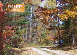
Rupp Bay History Profile
Development of the West End of Lake Lauzon,
Now Known as Rupp Bay
See below for a detailed historical account in a book written by the Rupp Bay founder, Allen E. Rupp.
by Allen E. Rupp [Published in 1972]
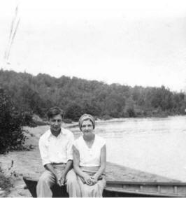
"In 1924, Professor Albert Suthers of Ohio Wesleyan [University] invited me to spend a two-weeks' vacation with him at Whiskey Island on Devils Lake in the Rideau chain of lakes between Brockville and Ottawa, Canada. He also invited three other friends... That vacation trip with Al Suthers created a longing to own a cabin in Ontario. I returned to Brockville, Ontario in 1930 with the intent of purchasing land in the area, only to learn that all of the islands had been purchased and the shoreline was filled so that I could hardly recognize the place. I contacted Al Suthers again and he suggested that I make a trip to Blind River and investigate the new land of promise....
As I was then a bachelor, I decided to make the trip with my father and mother, Jesse and Clara Rupp. We left Wauseon, Ohio, August 10, 1930, and reached Blind River the next day. We visited Gilbert Barnes and Al Suthers at Battle Point on Lake Dubourne and they suggested that we check Lake Lauzon and Granary Lake. They also referred me to Fred Thompson, the local Post Master. On the morning of the 12th I drove to Algoma and looked for cabin sites, but I could not find anyone who could give me any information as to how I might obtain land. One of the spots suggested was at the east end of the lake where Pronto Mine is now located.
Mr. Thomson had mentioned a farmer named Paul Spooner
who had some land on another part of Lake Lauzon and I finally, with
considerable effort, located the trail to Spooner's Bay and found
Paul Spooner. He was interested at once [in selling land]
and told me that if I wanted a really beautiful bay that I wanted a
really beautiful bay that I should hike three-fourths of a mile due
north of the spot where we were then standing and I would come to
another arm of Lake Lauzon that was the main arm of the lake. There
was no road or trail of any kind at that time north of Spooner's
cabin, although a pasture field has just been started north of the
place. We tried to drive the car but had not gone 50 yards until the
rear axle straddled a big stone and we were lucky to get our car
back on the trail again. We set out on foot and reached the promised
land late in the afternoon of August 12. The sand beach was just
what I was looking for and so Paul and I stepped off 100 yards and
put up a pile of stones at each end. I asked him what he wanted for
it and he said $100.00, and I said,” Sold [!]” Fred
Thompson (then postmaster of Blind River) helped draw up an
agreement and we headed for North Bay the next day. The title was
not yet cleared and surveyors were not to be had at any price. Glen
Law had to build on my father’s original land as there was no
surveying at the time. It was not until 1936 that we finally got a
surveyor in the area and had the area surveyed by James Dobie.”
+++ End excerpt
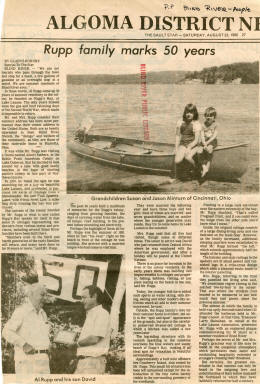
The cabins built next to the originally purchased lot by Allen E. Rupp were Glen Law in 1936 and Harold Rock in 1940. Interestingly, both of these friends were on my father's staff at Marietta High School in Marietta Ohio where he was principal at the time. The Rupp/Law development ensued during that time with one section of land that included property on Rupp Bay and part of Allen Lake. The land was finally surveyed and lots were sold to friends of Allen E. Rupp and Glen Law. When land was sold, it was sold at cost; no money was made. The sold land had the unwritten stipulation that the property would be passed down to the next generation. Surprisingly, that came to be true and we are now in our third generation of those that had children.
Lake Lauzon Statistics
| Statistic | Metric Units | Imperial Units |
|---|---|---|
| Lake Perimeter | 75 Kilometers | 46 Miles |
| Shoreline | 108 Kilometers | 67 Miles |
| Lake Area | 23 Square Kilometers | 8.9 Square Miles |
| Lake Volume | 564 Billion Liters | 150 Million Gallons |
Source: Statistics from Nate Johnson Survey in 2008
Historical Documents and Maps
![Original Sketch of Rupp Bay by Allen E. Rupp [1930]](images/Original_Rupp_Bay_Lot_Sketch_snall.jpg)
Original Lot Sketch of Rupp Bay by Allen E Rupp [1930]
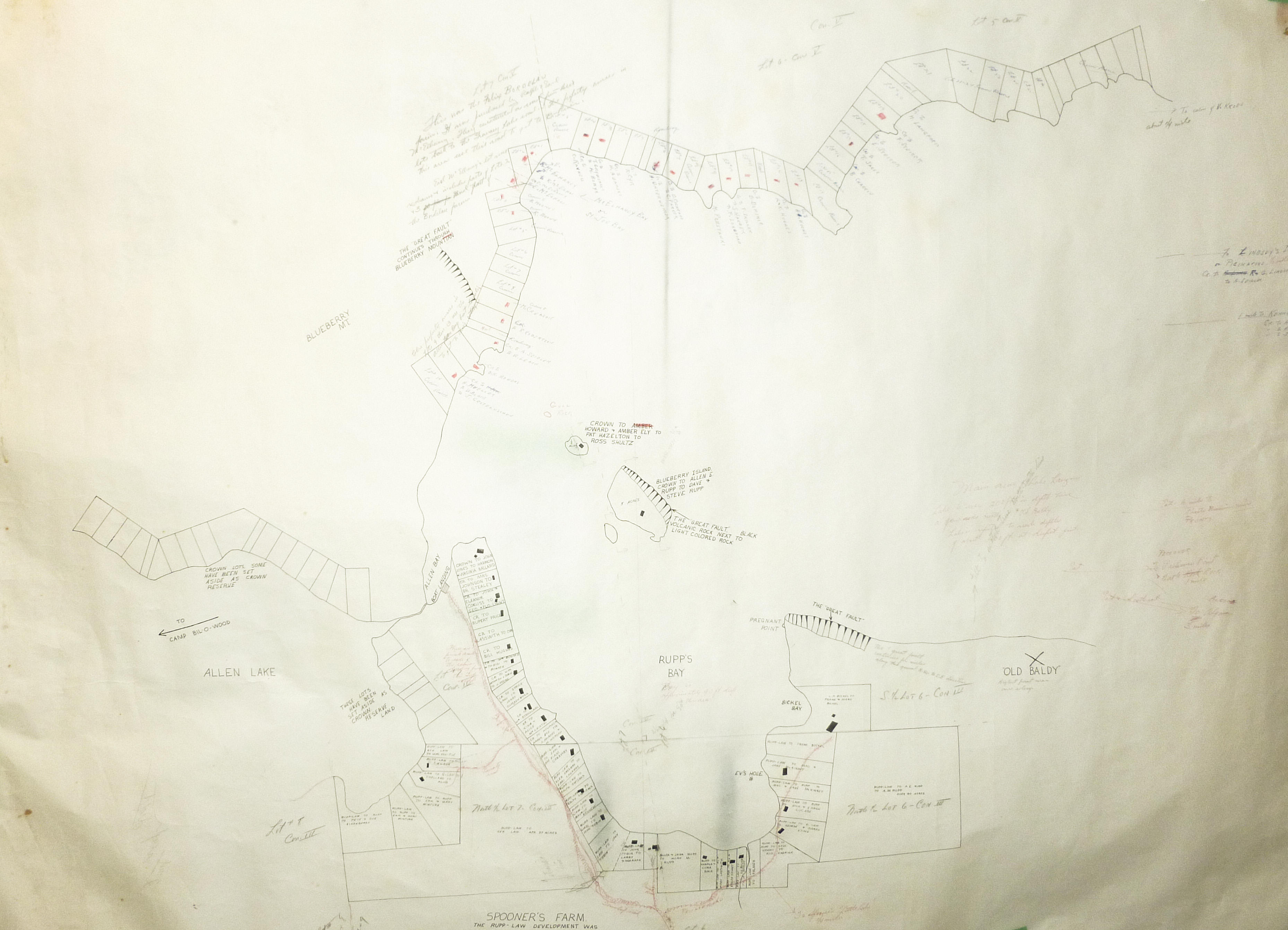
Full Rupp Bay & Allen Lake Lot Survey Map
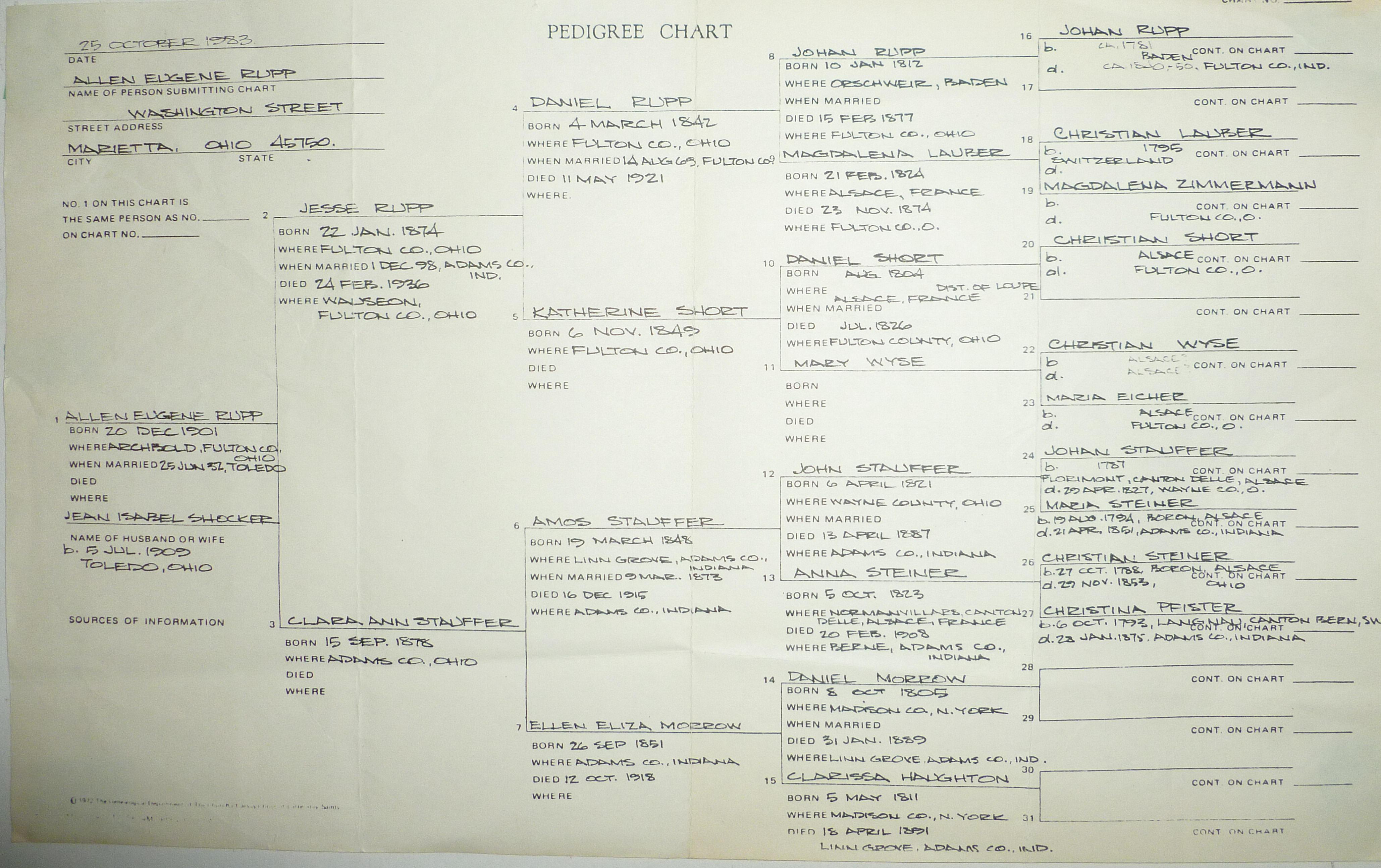
Rupp Family Tree/Pedigree Chart [1983]
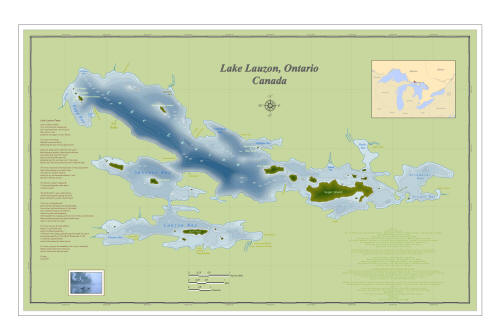
Detailed GPS Survey of Lake Lauzon by Nate Johnson
External Web Links

(Click on Ball to Enlarge to Full Resolution)


